How a New App Is Improving Cholera Predictions
Infectious outbreaks may be easier to predict after NASA, pioneering microbiologist Dr. Rita Colwell, and environmental engineer Dr. Antarpreet Jutla put in place a mapping app and climate disease forecasting center.
Affecting approximately 1.3 to 4 million people worldwide per year and killing 21,000 to 143,000 individuals, according to the Centers for Disease Control and Prevention, cholera is a bacterial infection of the small intestine. Along with malaria and dengue fever, the condition may crop up more often as precipitation extremes grow during climate change, causing more flooding and standing water.
To slow or stop cholera in its tracks, microbiologist Colwell and environmental engineer Jutla are collaborating with NASA to develop an app that predicts and prevents outbreaks, followed by a climate disease forecasting center that will include waterborne disease and other forms of disease. Colwell warned in a University of Maryland release that "climate change is bringing cholera to new parts of the world, making this type of prediction system more important than ever before, especially because it provides an opportunity for early intervention."
Trailblazing Infectious Disease Research
Over five decades, Colwell meticulously studied global infectious disease spread through water sources, shedding light on its impact on public health. Colwell's discovery lies at the heart of this app.
She found that cholera cases increase in correlation with phytoplankton, including those called copepods, and she later discovered that Vibrio cholerae bacteria, responsible for cholera, can hide in water among microscopic plant life and colonize the intestines of copepods. During epidemics, Vibrio cholerae reactivates, perpetuating the cycle. Unveiling this fact led to a new field: bacterial zoonosis.
Colwell's work fundamentally altered our understanding of how aquatic organisms transmit diseases to humans.
From Research to App
Now, Colwell's life's work converges into a single app—a digital beacon of hope. This app will harness state-of-the-art techniques, including satellite imagery, to predict outbreaks. Countries with limited budgets can mobilize health care resources preemptively, saving lives. But there's more.
Climate Disease Forecasting Center
The collaboration extends beyond borders: NASA, the United Nations, NOAA, the United Kingdom, and two universities (Florida and Maryland) have joined forces to lay the groundwork for the world's first climate-related disease forecasting center. Located at the University of Maryland, this center will predict epidemic risks globally.
Antarpreet Jutla: A Mathematical Partner
An associate professor of environmental engineering at the University of Florida, Jutla rounds off Colwell's expertise. Playing upon mathematical skills and NASA's satellite and weather data, they've developed interactive maps for various regions.
These maps predict outbreaks with an impressive 90% accuracy in places such as the Chesapeake Bay, Zimbabwe, Mozambique, Senegal, Ethiopia, Bangladesh, and Yemen.
How Lab Managers Can Prepare
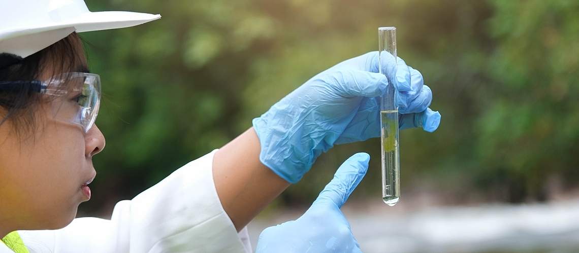
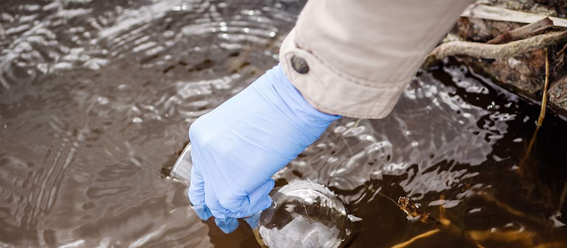
As researchers continue to build better disease forecasting technology, water testing services remain important. While areas get a handle on this threat to health around the world, stay current with new developments in water quality. By continuing to read resources on testing news, you can remain vigilant to risks lurking in floodwaters or the average household tap.
Read These Next