EPA Updates Sanitary Survey Tool for Recreational Waters
The Environmental Protection Agency (EPA) released a new sanitary survey tool for recreational waters called ArcGIS Survey123 that allows users to collect real-time water quality data about lakes, rivers, and beaches. This app includes features for capturing water quality information that wasn't possible with the paper-based surveys of the past.
Sanitary surveys pull together vital details about a waterbody and the surrounding watershed that assist public health officials and local program managers in assessing pollution and prioritizing locations for recreational water testing, according to the EPA. Another potential advantage is that recreational water program managers can use the data, which includes bacteria levels, rainfall, turbidity, and source flow, to develop predictive water quality models.
ArcGIS Survey123 has compatibility with smartphones, tablets, laptops, and other mobile and handheld devices. The app can be downloaded for free from Google Play or the Apple App Store. You don't need connectivity to Wi-Fi or the internet in order to update the sanitary survey from your device while in the field, the EPA notes. The app will geolocate beach and waterbody locations for users.
New Digital Survey Capabilities
The EPA conducted a webinar in September 2020 that included a demonstration of the sanitary survey tool and highlighted several new features. Oak Ridge Institute for Science and Education fellow Sandra Demberger led the demo, walking participants through the process of filling out the four-part survey. She pointed to arrows that expand and collapse sections, making data entry from small mobile devices easier.
In the water quality section, users can indicate that water quality samples are collected, click on a plus sign to expand the fields, and then provide more data in the survey about them. You can add specifics about a sample point using the automatic geolocation from the app or by selecting the precise location on a map. The section has fields for the sample number, parameters such as E. coli, enterococci, and fecal coliform, color, odor, and water quality values and measurements, as well as places for comments about other factors, such as particles visible on the beach.
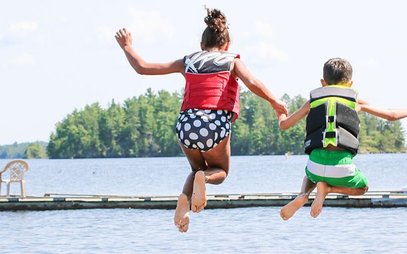
Another section collects information about the number of beach users or recreators both in and out of the water, and their activities such as swimming, sunbathing, and fishing. The last part of the survey requests data about potential pollution sources: discharge sources, flow rate, amount, and details on floatables and debris. Users can document the presence of dead fish and wildlife, harmful algal blooms, and illnesses related to these blooms.
Within the survey, users have several opportunities to upload photos taken directly through the app itself or from their files showing the waterbody, water conditions, recreators present, and anything else notable. The app allows users to save surveys started in the field and complete them later. They also have the ability to reopen and edit a survey that has already been submitted. Survey data can be downloaded in several formats, including Shapefiles, CSV, Excel, and GeoJSON, according to the EPA.
Upcoming Virtual Training Sessions
The agency is conducting free live virtual training sessions that show participants how to use the ArcGIS Survey123 app and access their saved data from sanitary surveys. The session dates are as follows:
- May 25 at 2:00-3:30 p.m. ET
- May 26 at 3:00-4:30 p.m. ET
You can register for a specific upcoming session through the EPA's Sanitary Surveys for Recreational Waters website. The EPA is also publishing detailed instructions for accessing the app, user manuals, and training videos online.
"Real-time, high-quality data help improve prioritization of remediation actions and the development of models that would support same-day decisions on swimming advisories," the EPA's Office of Science and Technology director said in a statement about the updated tool.
Outdoor recreation with members of the same household is one of the safer activities during the pandemic, according to the Centers for Disease Control and Prevention. As recreational bodies of water begin opening for the season, managers will need support from water laboratories. By contributing timely data about recreational water quality, you can help protect the environment and public health.
Read These Next